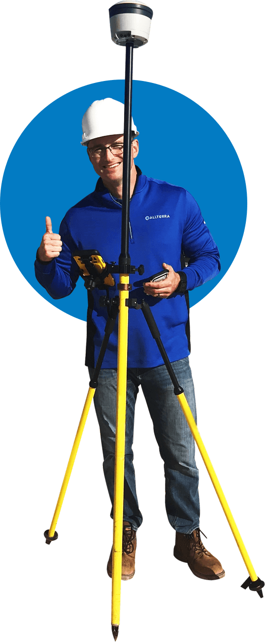
Introducing AllTerra Academy
ESRI Field Maps Basic Training

Register Now – Space is Limited

Register Now – Space is Limited

give you access to a wide range of support options by product type. Keep your team on our equipment and software workflows.
In this training we will cover:

Training Led By
AllTerra Central Mapping & GIS (MGIS)
Training & Support Lead
Zach Edwards is the Mapping & GIS (MGIS) Training & Support Lead for AllTerra Central, Inc. and is based in Albuquerque, New Mexico. Zach has been with AllTerra Central for 4.5 years. He has 18 years’ experience as a GIS professional with 9 years of this being in field data collection solution sales, training, & support. Zach has a solid understanding of GIS mapping and techniques, a deep knowledge of geographic theory gained through research, relevant academic coursework, and work experience. He also has a passion for geodetics and bridging the gap between Land Surveyors and GIS Professionals. Zach has a Bachelor of Arts in Geography from Bowling Green State University (2005) and a Master of Applied Geography from New Mexico State University (2008). Zach also teaches GIS, Photogrammetry, and GNSS coursework in the Geographic Information Technology (GIT) program at the Southwestern Indian Polytechnic Institute (SIPI) in Albuquerque.
Have questions for Zach before the training?
He is waiting by to assist you!