
AUTHORIZED TRIMBLE DEALER!
Optimize Your Operations With Drones From AllTerra
AllTerra Central is your trusted provider of UAV surveying solutions. Check out the brands we carry or speak with our team of product experts to learn more.
Request InformationUAV Product Portfolio


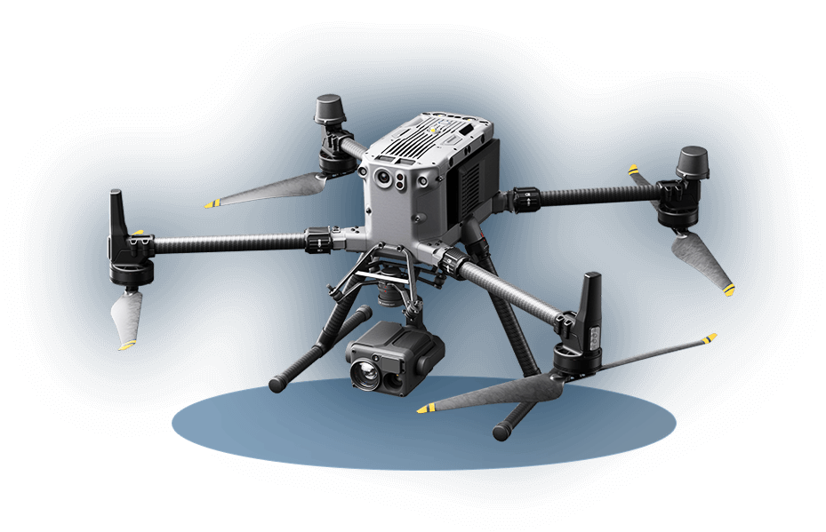
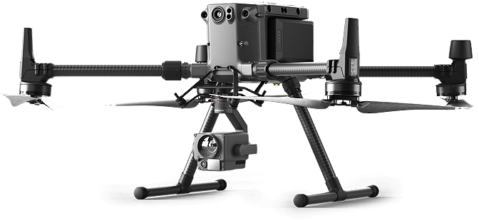
Industries Utilizing Commercial Drones
Drones serve as innovative instruments across multiple industries, gathering essential aerial data. These commercial drones provide accurate measurements for various applications including land surveying, agriculture, and public safety.
Although relatively new, an increasing number of companies are integrating drones into their operations to gather crucial information for effectively. Check out these industries we are already servicing:
- Surveying & Mapping
- Public Safety & Forensics
- Construction
- Inspection
- Energy and Utilities
- Forestry & Agriculture
Why Shop AllTerra for UAVs?
AllTerra is already your go-to provider for land surveying equipment. As we expand our UAV drone selection, you can expect the same outstanding quality and expert knowledge from our team.
With AllTerra Central you will experience:

Contact us today to learn more about our UAV product portfolio!

Meet Chris Mauldin
UAV Sales Manager
Chris Mauldin has over a decade of experience with UAVs and Mobile LiDAR. After graduating with a bachelor’s degree in Geography with a focus on GIS from Texas A&M University, Mr. Mauldin moved into the data collection and mapping industry.
Starting as a field technician 1, he traveled the country utilizing photogrammetry and LiDAR to produce digital twins of project sites (focusing primarily on mining and solid waste projects). He was eventually brought into the office to manage field operations for the Western U.S. He is familiar working with point cloud data across multiple software and has many flight hours on multiple different platforms.
He joined AllTerra Central in June of 2021 to manage advanced technology sales. Along with AllTerra’s advanced technology team, he is responsible for selling and supporting all UAV products for AllTerra Central and ensuring customer success.
Have UAV questions?
We are here to help! Fill out the form below and we will be in touch with you shortly!